Survey
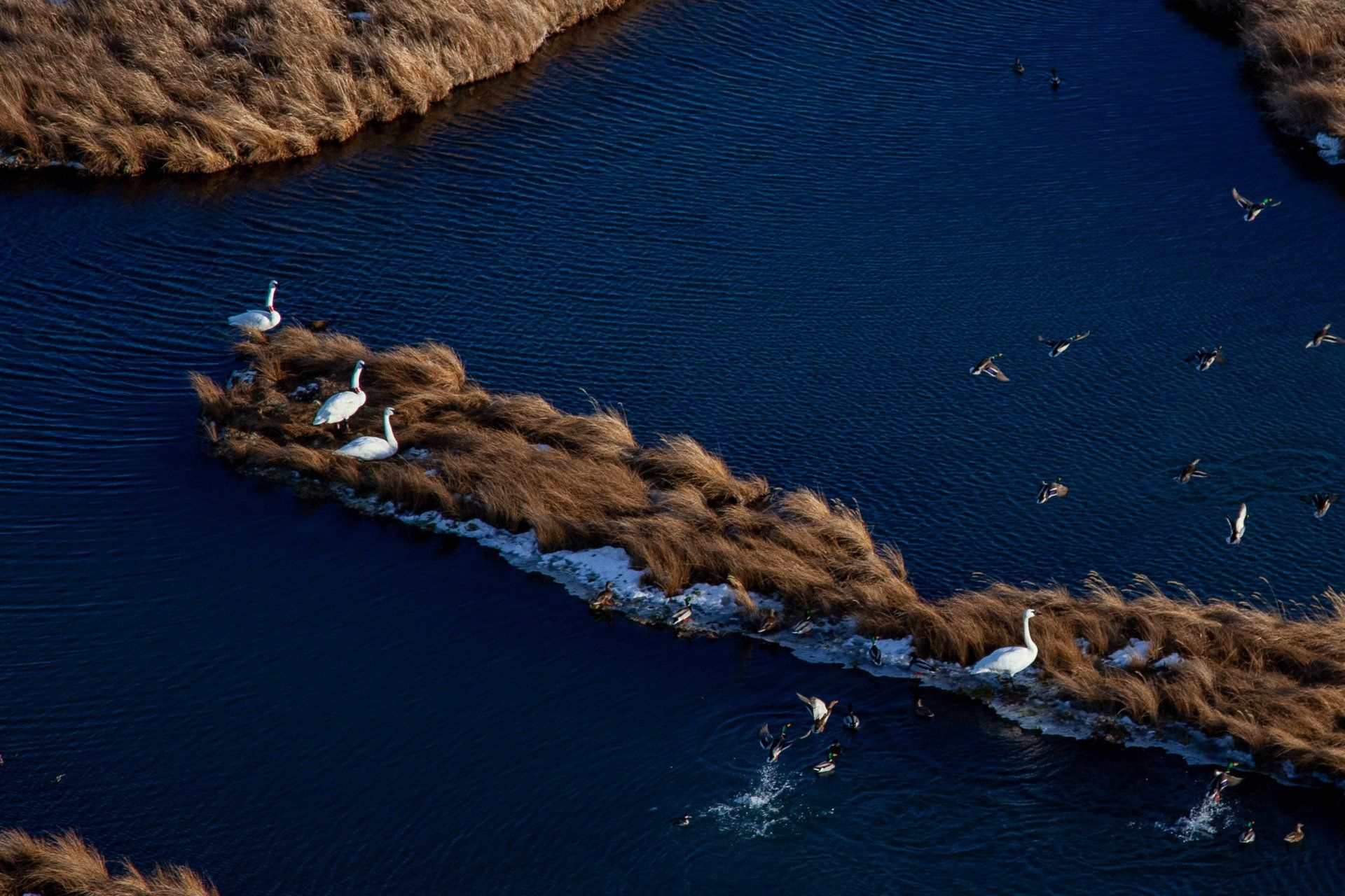
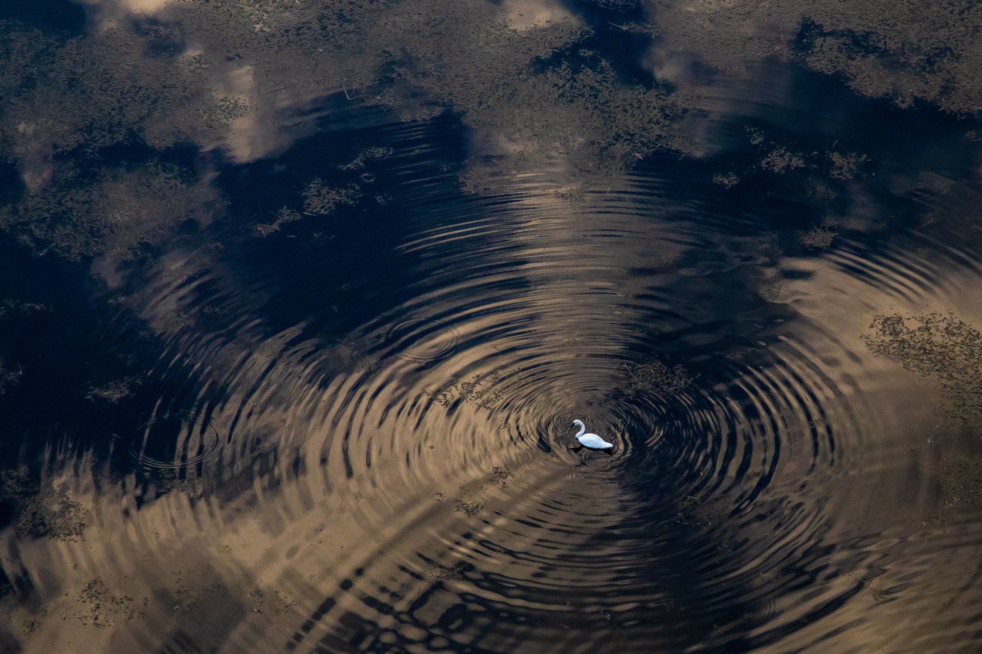
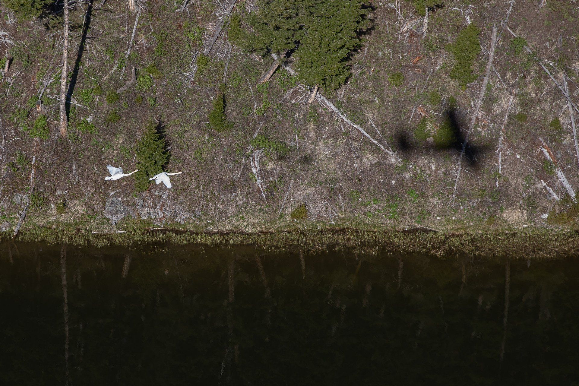
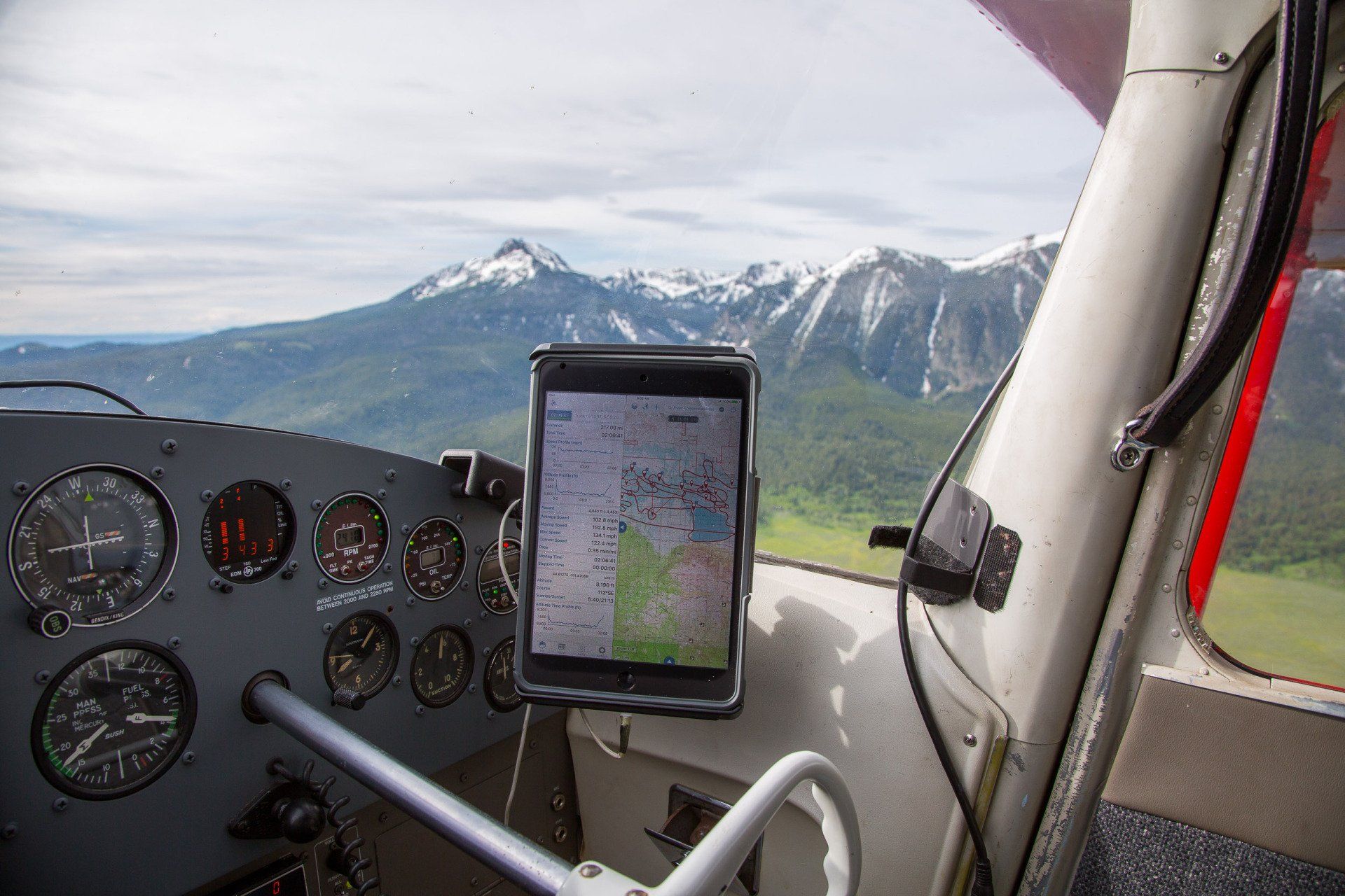
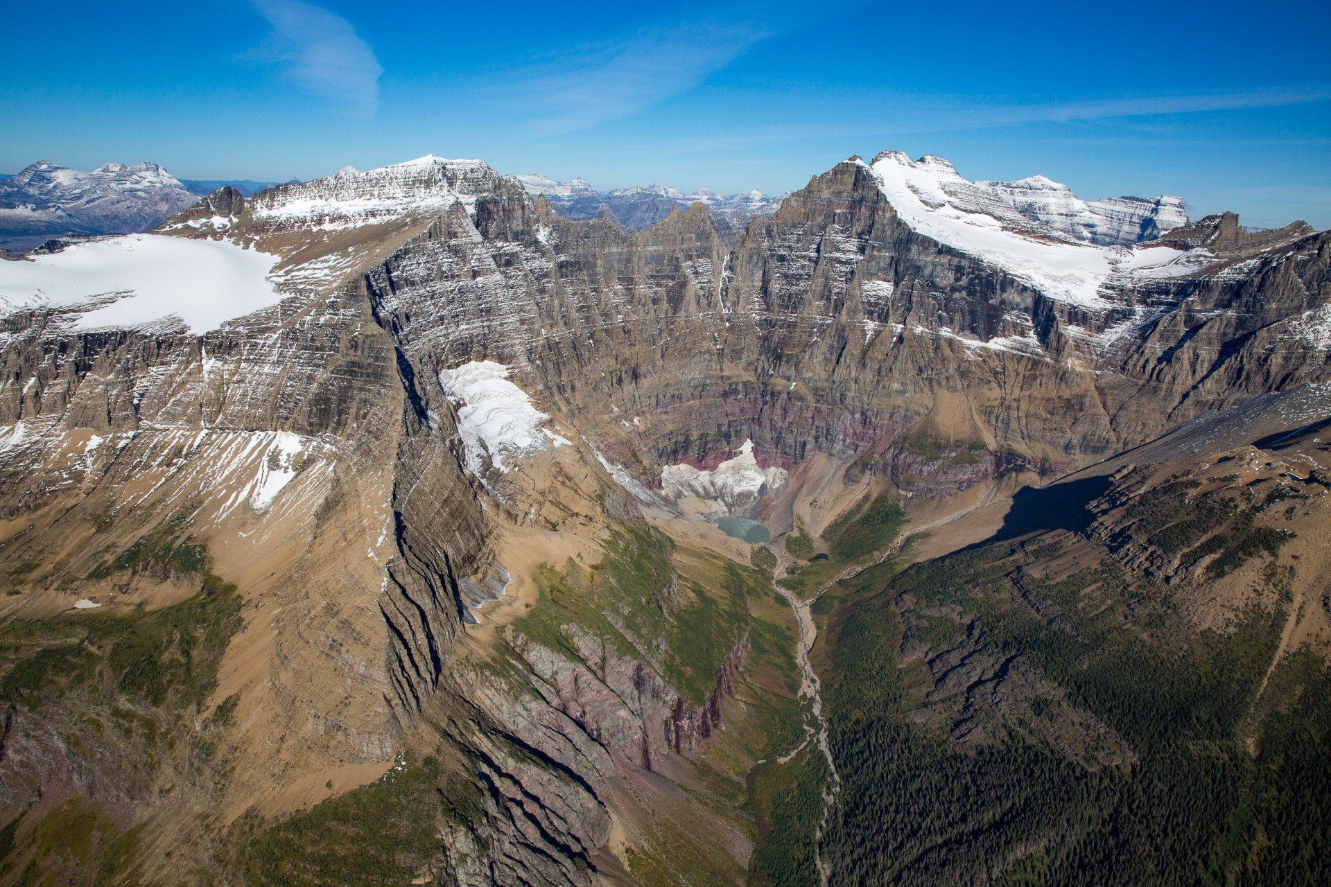
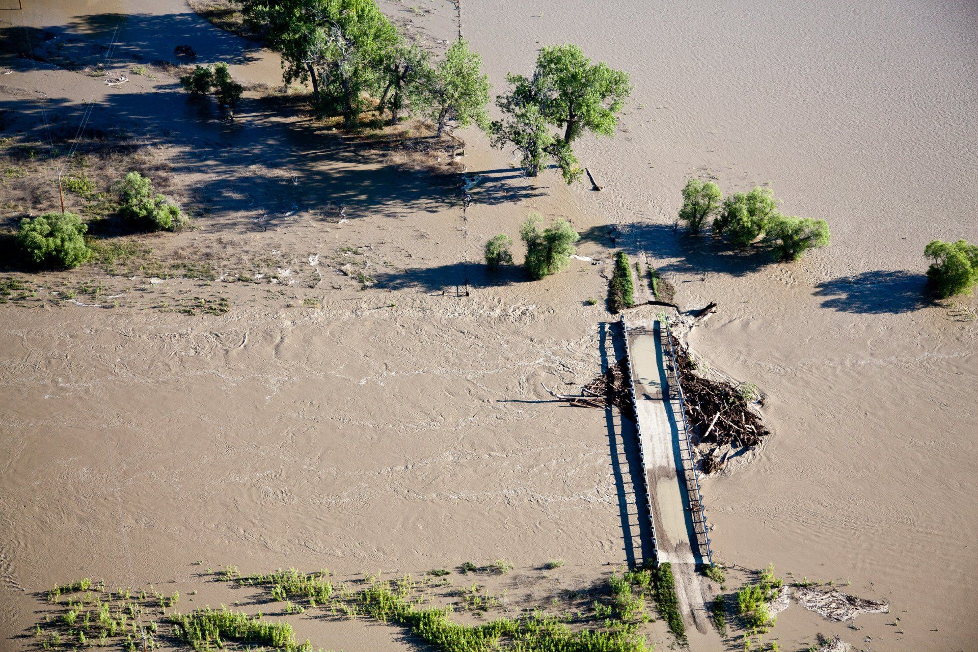
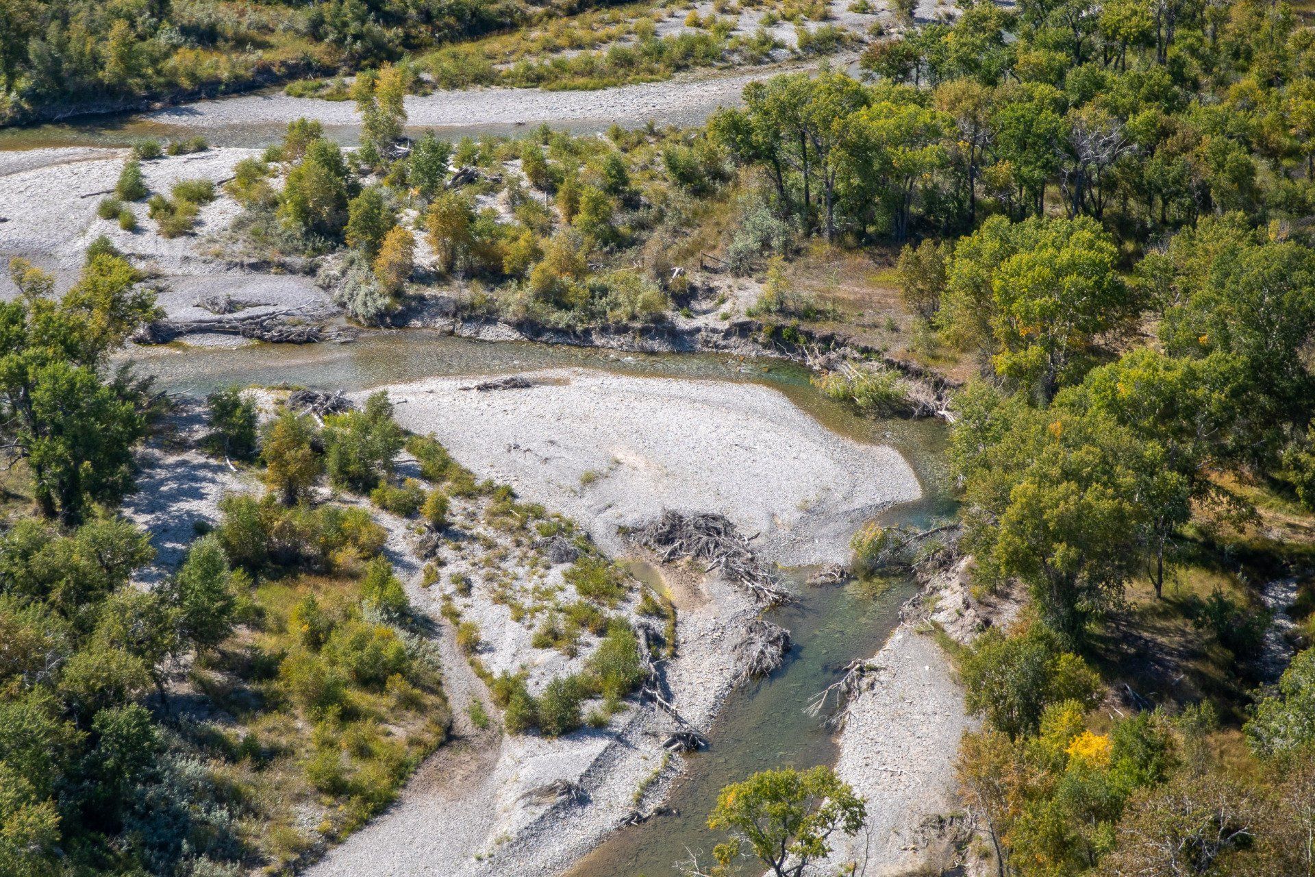
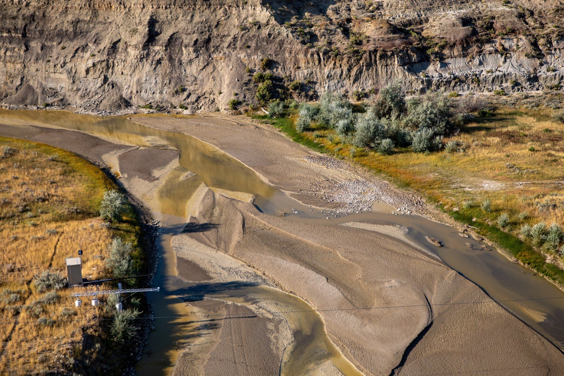
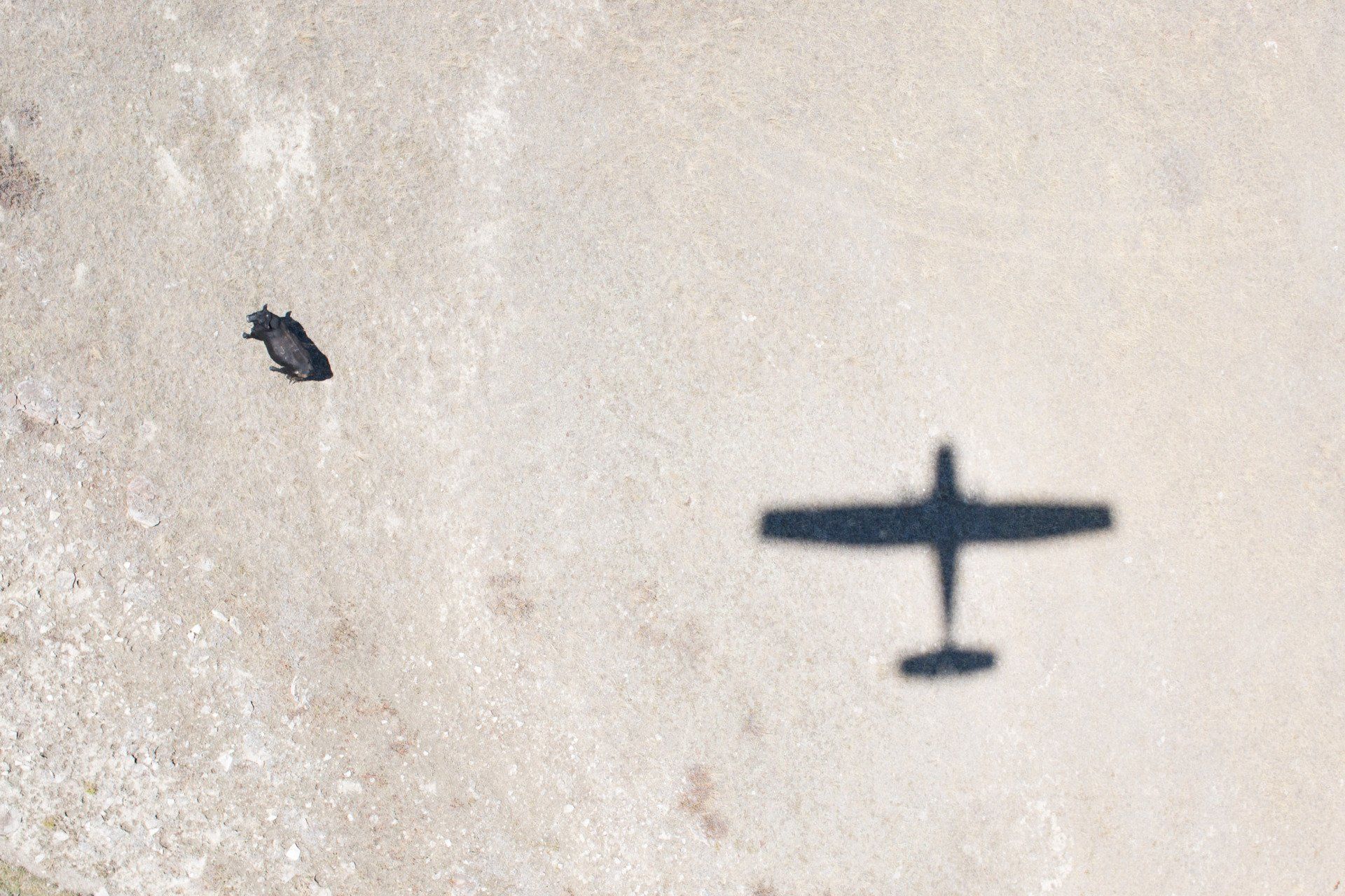
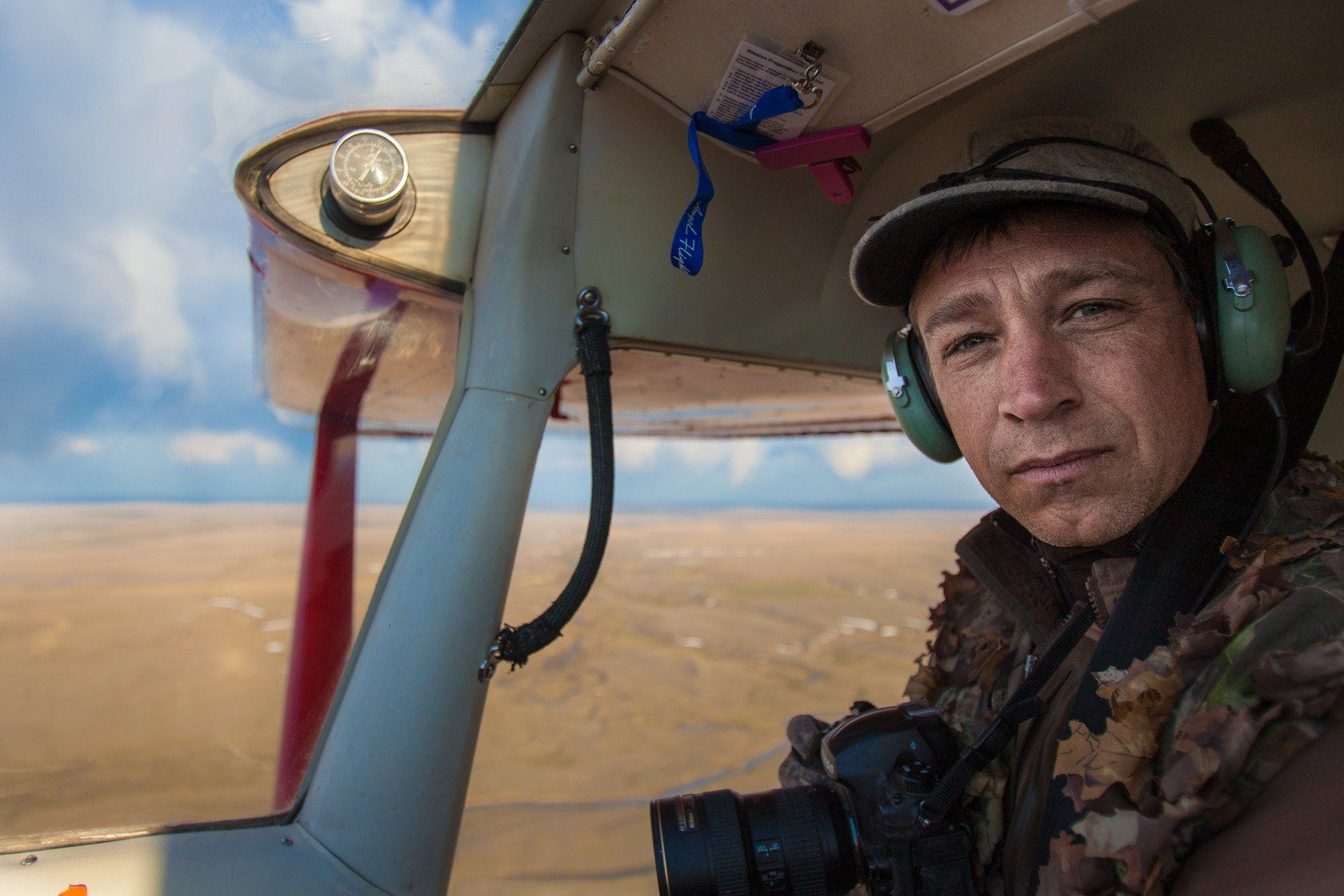
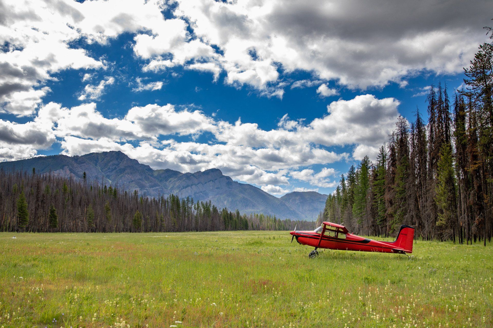
The management of natural resources often requires gathering data and assessing conditions throughout vast and remote landscapes. Using geotagged digital photographs and a slow flying aircraft, Kestrel can locate and document a wide variety of phenomena from animals to sensitive habitat types to specific plant communities. A photo-based survey is a safe and cost-effective alternative to traditional pilot/observer flights because no additional personnel are required onboard the aircraft, and the photographs provide not only the quantitative information of number and location of phenomena, but also a detailed portrait of the condition, adjacent habitat, and land type.
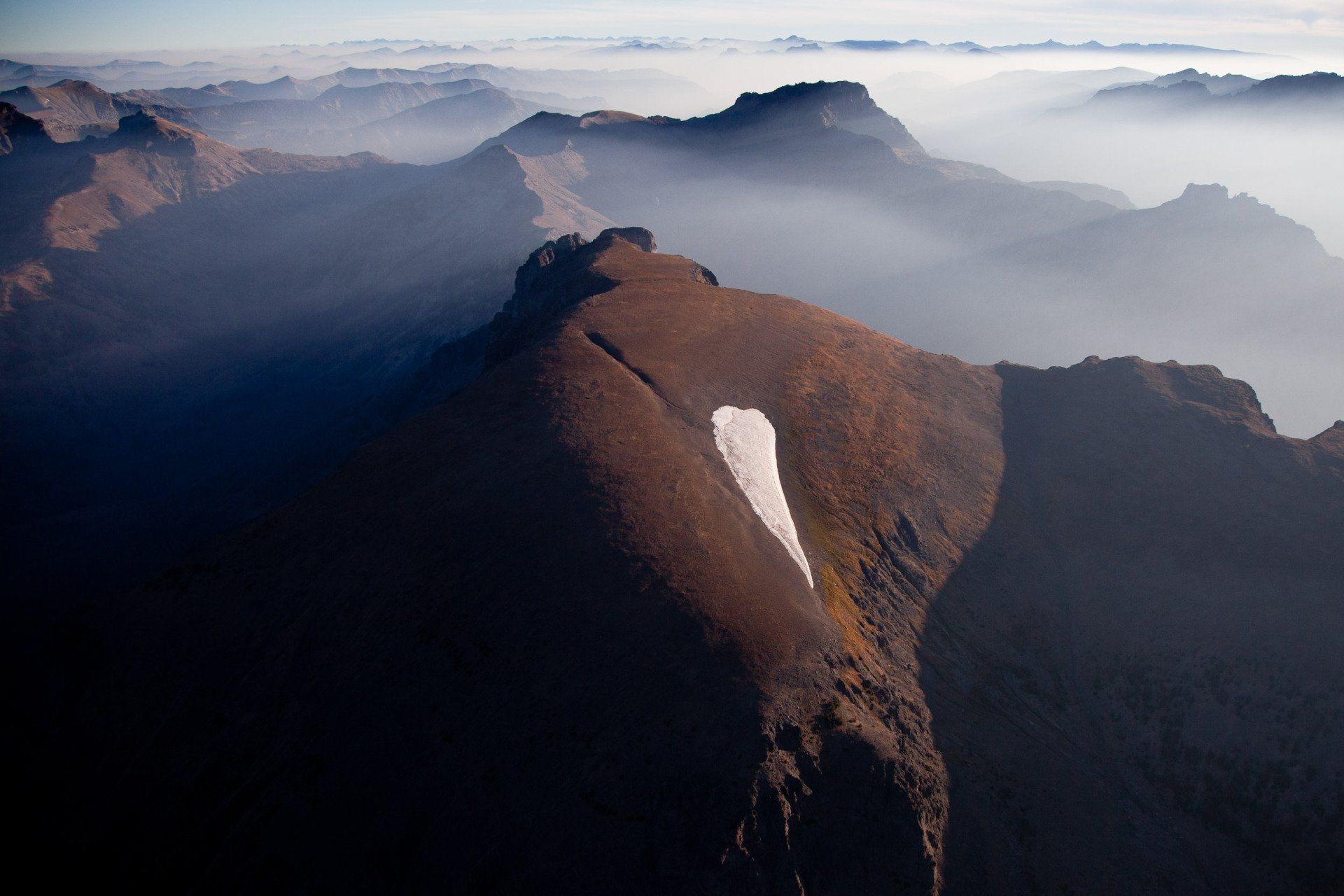
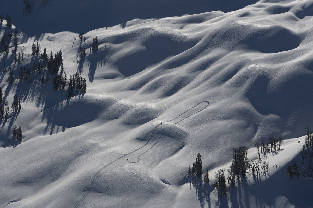
Kestrel has provided survey data on trumpeter swan pairs, nests, broods, and tagged birds; winter recreation use in wilderness areas by documenting snowmobile and cross country ski tracks; late summer refuges for native fish in networks of drying prairie streams; weed infestations along large river corridors; and high elevation ice patches of archaeological significance.