Platform
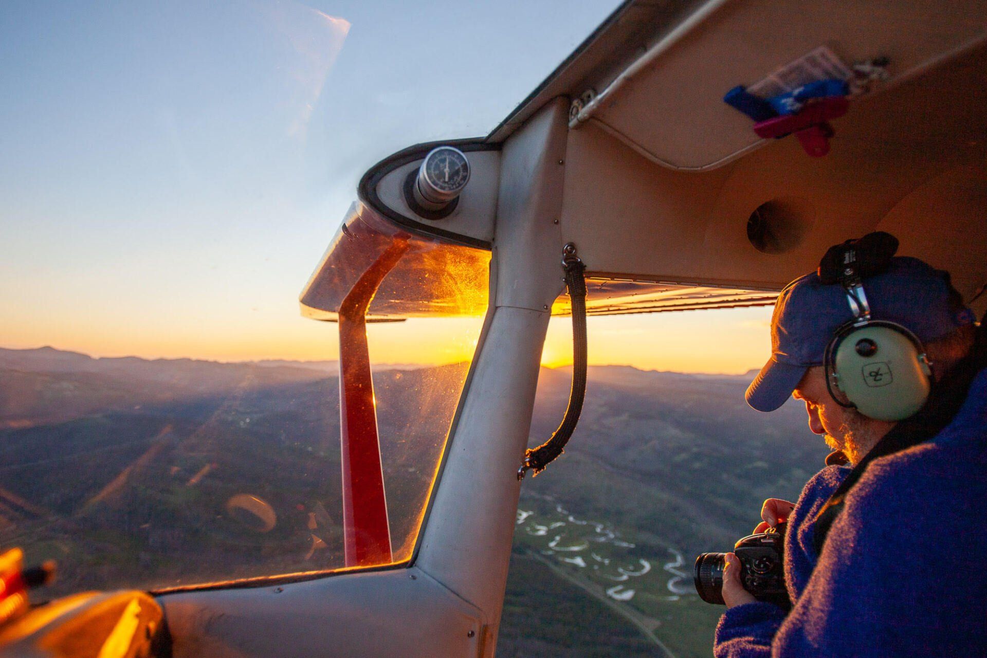
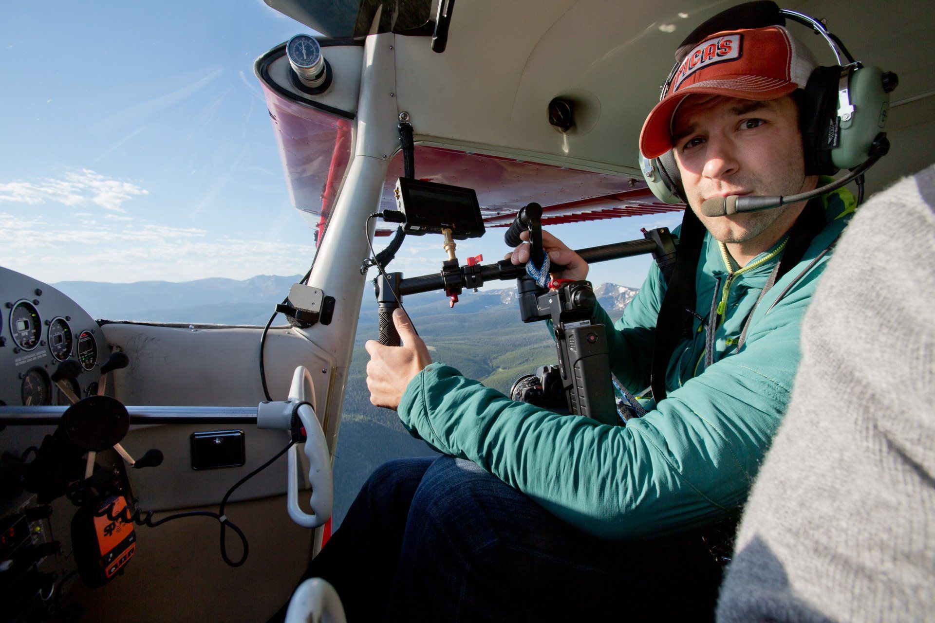
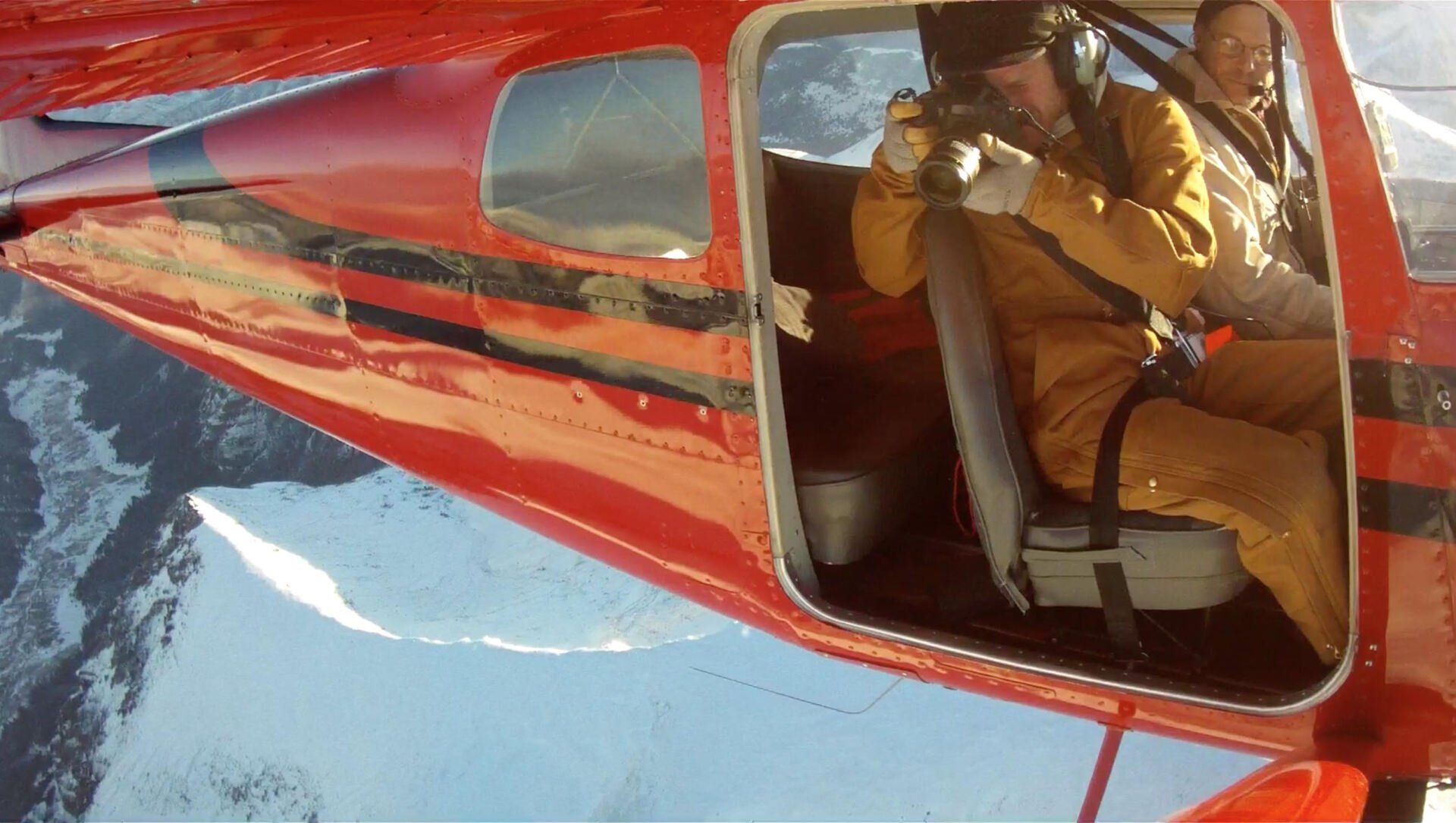
Kestrel provides researchers and photographers with access to remote points of interest for aerial observation and documentation. Chris's expertise in photography and mountain flying facilitate responsive, productive flights for clients.
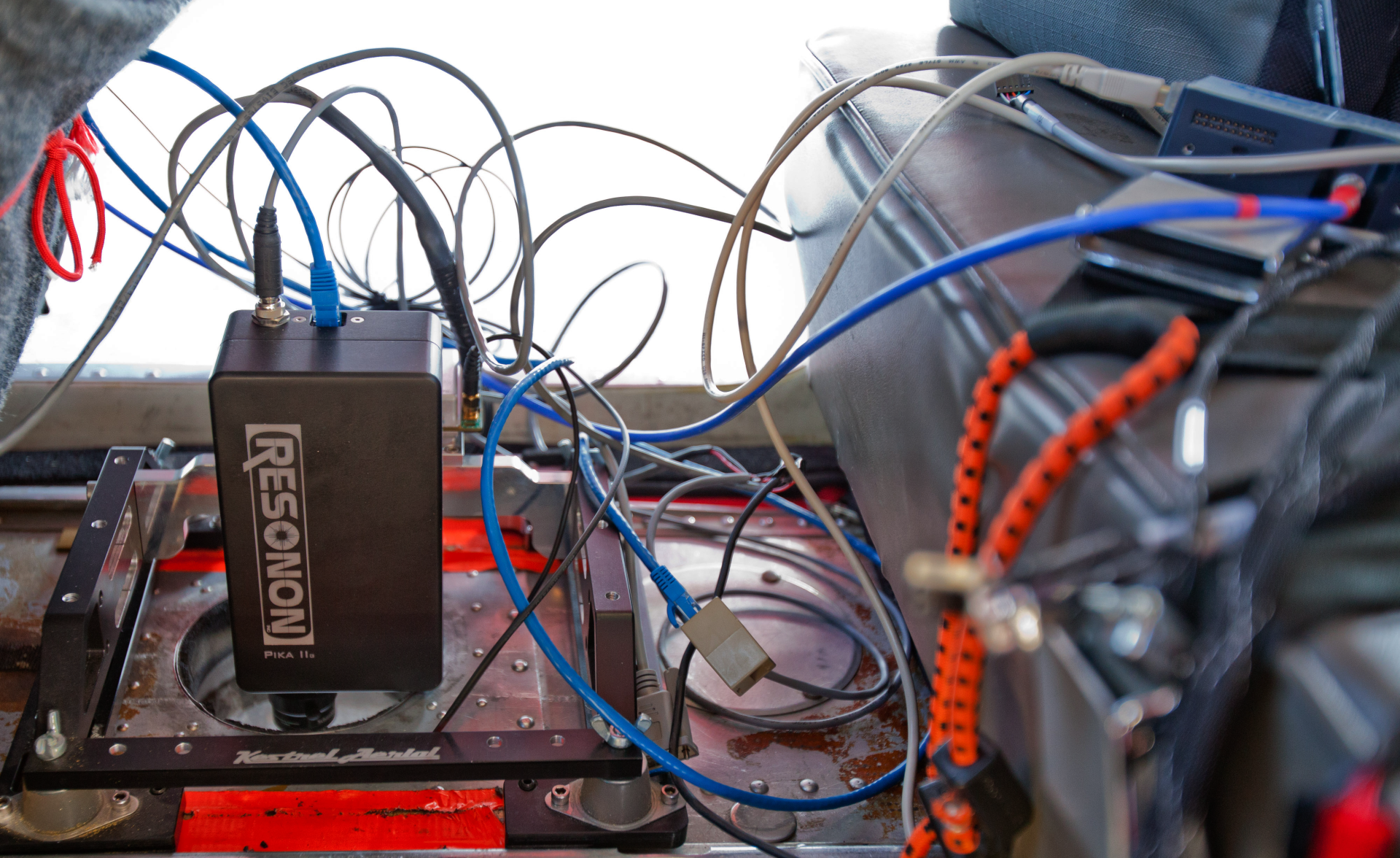
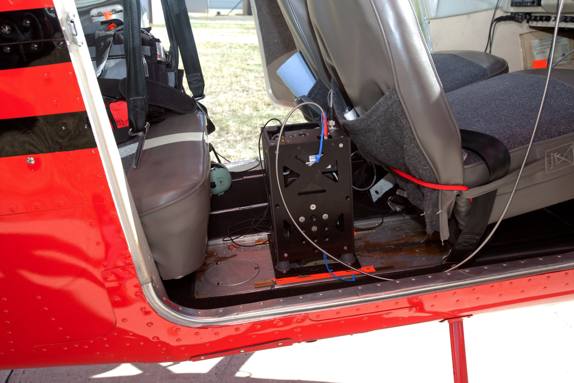
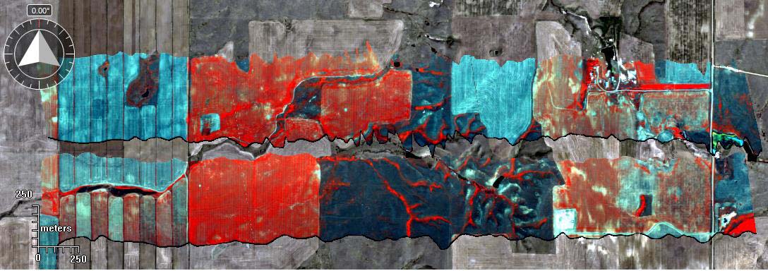
Rapid development of remote sensing technology contributes to the adoption of geospatial information in decision making in fields from conservation to commerce. While Kestrel provides data that can be collected with high-resolution digital cameras, we have partnered with a variety of entities interested in flying or testing other remote sensing device. Compared to unmanned systems, we can carry larger payloads for extended durations, allow clients to monitor the remote sensing device in person inflight, and eliminate the risk of losing a device due to a drone crash. Kestrel’s vibration damping mount can easily be adapted to accommodate different equipment, and its location in the aircraft’s cabin allows for room to spread out, while maintaining the significant cost savings from operating a small, piston-engine aircraft.
Kestrel is eager to support the development of novel research and technology, and will gladly work with teams to adapt our platform to meet specific needs.